Local guide
How to look up a flood zone in Murfreesboro
Before anyone seals vents or sets a pump under your house, it helps to know whether the lot is in a mapped flood zone. Looking it up takes a few minutes.
Three ways to check an address
The city's map
Open the City of Murfreesboro GIS map, type the address into the search box at the top left and tick “National Flood Hazard Layer” in the layer list on the right.
A phone call
The city's Planning Department will find a street address on its map for you. The number is 615-893-6441.
FEMA's own map
The FEMA Flood Map Service Center is the official source. Enter the address and open the map panel for your street.
Reading the result
On Murfreesboro's maps, Zone AE is the high-risk area: ground expected to be under water in a flood that has a one percent chance of happening in any year. Shaded Zone X is moderate to low risk, between that flood and a rarer, larger one. Unshaded Zone X lies outside both.
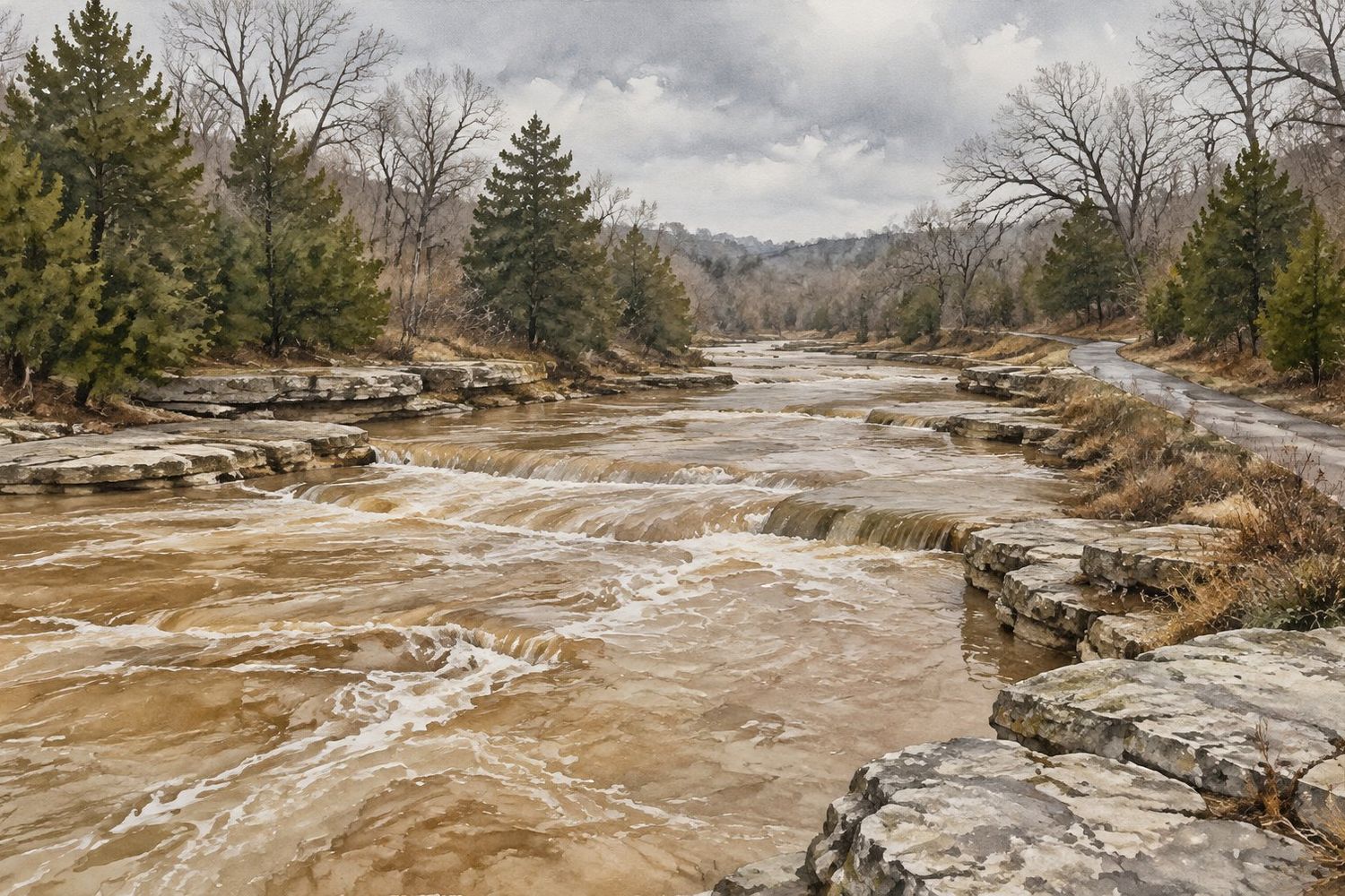
The map is not the whole story here. The city's floodplain page names sinkholes, the West Fork Stones River and Lytle Creek as the main sources of flooding and gives December to April as the critical months. It also points out that sinkholes and low ground that store stormwater can flood when heavy rain overwhelms them, well away from any creek. A house in Zone X can still take in water.
Why it matters for crawl space work
- Vents. In a mapped flood zone, foundation openings may be there to let floodwater pass through. Ask the Planning Department what applies to your house before a company closes any.
- Equipment. A dehumidifier, pump controls and outlets under the floor can be ruined by a flood. Ask how high they will be mounted.
- Expectations. A liner and a sump pump deal with rain, groundwater and humidity. They are not built to keep out a river or a filled sinkhole.
- Insurance. Flood cover is a separate policy from ordinary home insurance. Your agent can tell you what your zone means for it.
Outside the city limits
For addresses in unincorporated Rutherford County, the county's Engineering and Stormwater office points owners to the county map and takes drainage and flooding reports on (615) 898-7732. In Smyrna, the Town Planner is the floodplain administrator, reached through the Planning Department on (615) 355-5706. FEMA's map covers every address, whichever office you fall under.
Flood zone questions
My house is not near a creek. Do I need to check?
Yes. The city itself says flooding can happen away from waterways, and sinkhole areas are a known source. The lookup takes minutes.
The map shows only the back of my lot in the flood zone. Does that count?
It can affect insurance and permits even if the house sits higher. An owner can ask FEMA to remove a property, or part of one, from the mapped zone with a Letter of Map Amendment. That normally means hiring a surveyor or engineer to measure elevations.
Do flood maps change?
Yes. FEMA revises them from time to time, so check the current map and do not rely on what you were told when you bought the house.
Ready to talk about the crawl space itself?
Say what you have noticed under the house or in the basement. A short description is enough to get the conversation started.
Call from Murfreesboro or nearby
You will be put through to an independent local company that does this kind of work.
Call (615) 555-0113Calls may be recorded. Read the referral disclosure to see how this service is paid for.